Difference between revisions of "Software"
From SatNOGS Wiki
(→Unoffical SatNOGS Software: [https://gitlab.com/chibill/satnogsmap/ SatNOGS Map]) |
(→Unoffical SatNOGS Software: Satnogsmap.png) |
||
| Line 23: | Line 23: | ||
<gallery mode="packed" widths=310px heights=200px> | <gallery mode="packed" widths=310px heights=200px> | ||
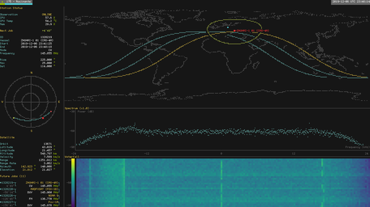
File:Satnogs-monitor.png|[[SatNOGS Monitor]] | File:Satnogs-monitor.png|[[SatNOGS Monitor]] | ||
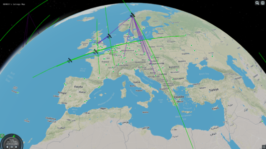
| + | File:Satnogsmap.png|[https://gitlab.com/chibill/satnogsmap/ SatNOGS Map] | ||
</gallery> | </gallery> | ||
Revision as of 20:47, 13 January 2020
Introduction
There is a variety of free software (open source) you can use with SatNOGS. The Libre Space Foundation maintains the official SatNOGS software. There are many groups and individuals that also write software that can be used with the SatNOGS system.
Official SatNOGS Software
The main software archive is available here:
...and much more is available in the repos.
Unoffical SatNOGS Software
Below is a list of free software that works with SatNOGS.
- glouton-satnogs-data-downloader --- This cli app is a downloader for the data provided by the satnogs network and the satnogs db APIs.
- SatNOGS Monitor --- Terminal UI monitor for your SatNOGS ground station. SatNOGS Monitor page in this wiki.
- SatNOGS Map --- Displays SatNOGS ground stations on a map with live updates of passing satellites' observations.

